Climate change
-
 Posted On Climate change
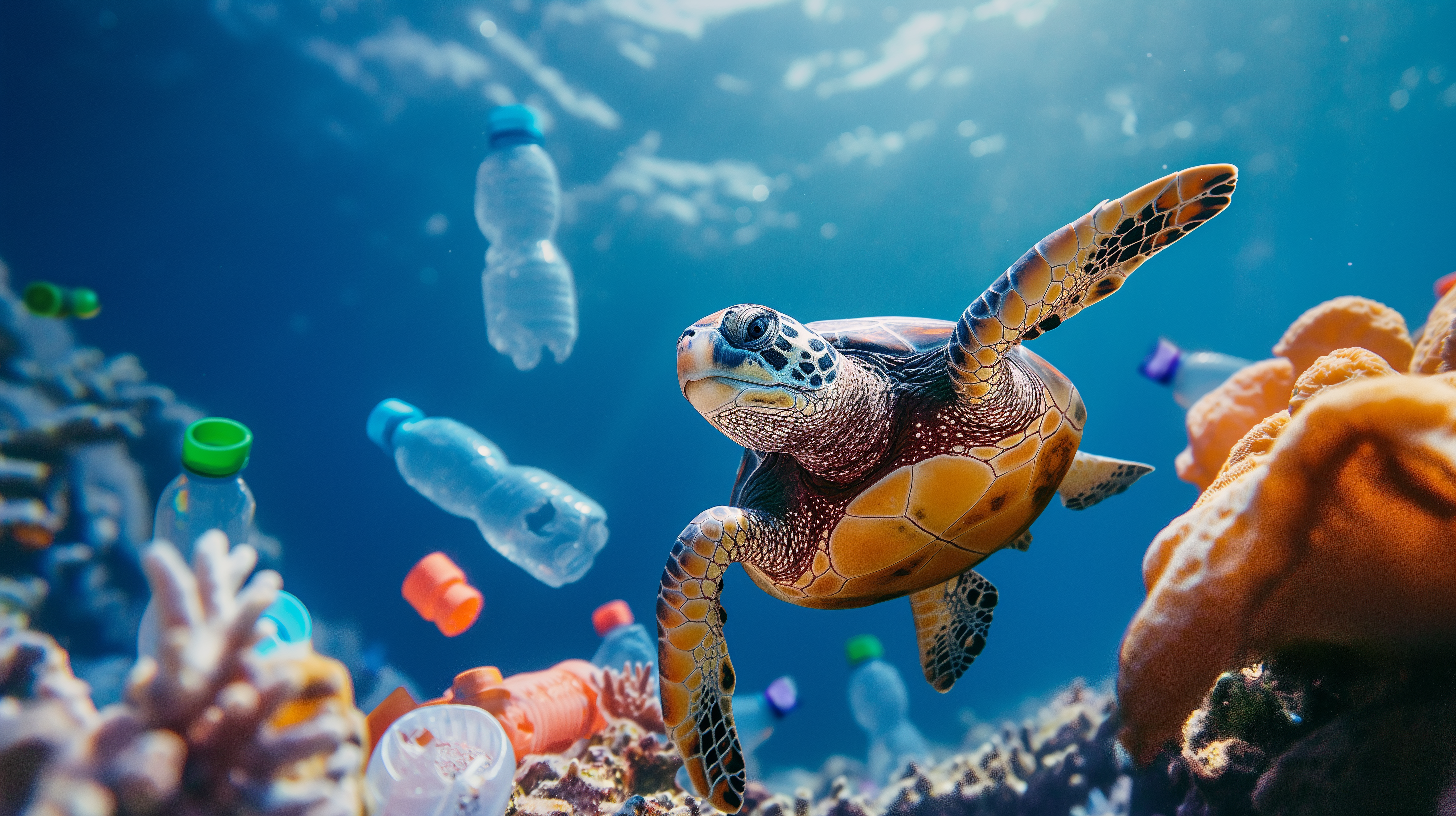
The Plastic Soup in our oceans


Our deep blue oceans are becoming increasingly polluted with plastic. In this video we explain how plastic ends up in the oceans.


