Edwin
-
 Posted On Astronomy
Embracing the June Solstice: Celebrating the Height of Summer in the Northern Hemisphere


The June solstice, a pivotal moment in our celestial calendar, marks the height of summer in the Northern Hemisphere. Occurring around June 20th or 21st…
-
 Posted On Historical Battlefields
D-Day: The Origins of Omaha Beach
On June 6, 1944, the Allied forces launched one of the most significant military operations in history: D-Day. This monumental event marked the beginning of…
-
 Posted On Civilizations
The Maya
It was one of the advanced civilizations in the world, renowned for its calendar and great cities, living thousands of years ago in Central America.…
-
 Posted On Nation States
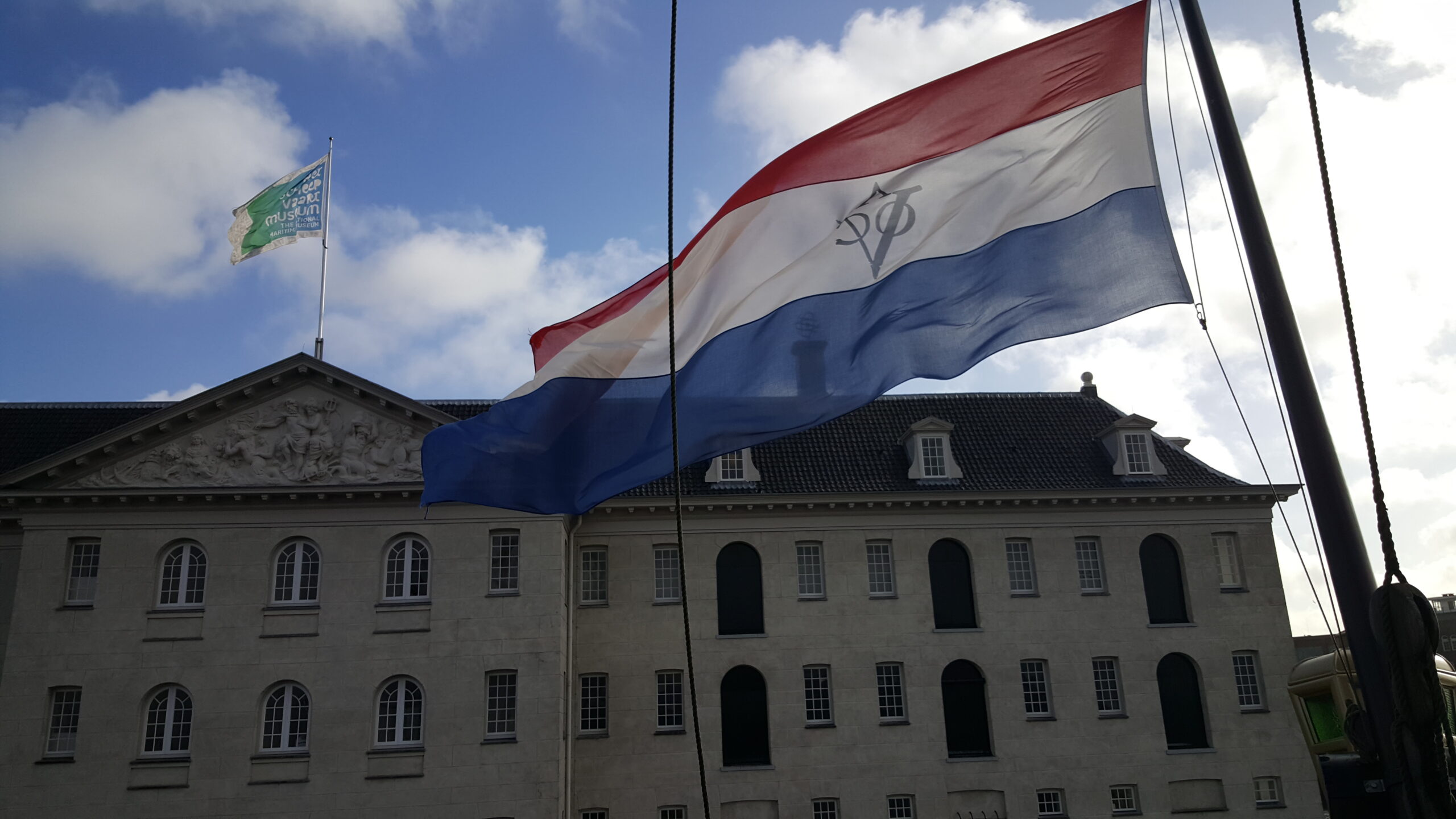
The Netherlands
The Netherlands, known for its flat terrain, windmills, and tulip fields, is a progressive European nation with a rich cultural heritage. Renowned for Amsterdam’s historic…
-
 Posted On Oceans
The History of the North Atlantic Ocean
Thousands of miles of emptiness. Nothing but blue, grey, green and white. Giant waves, shrieking gales, water so cold. This is what millions of people…
-
 Posted On Nation States
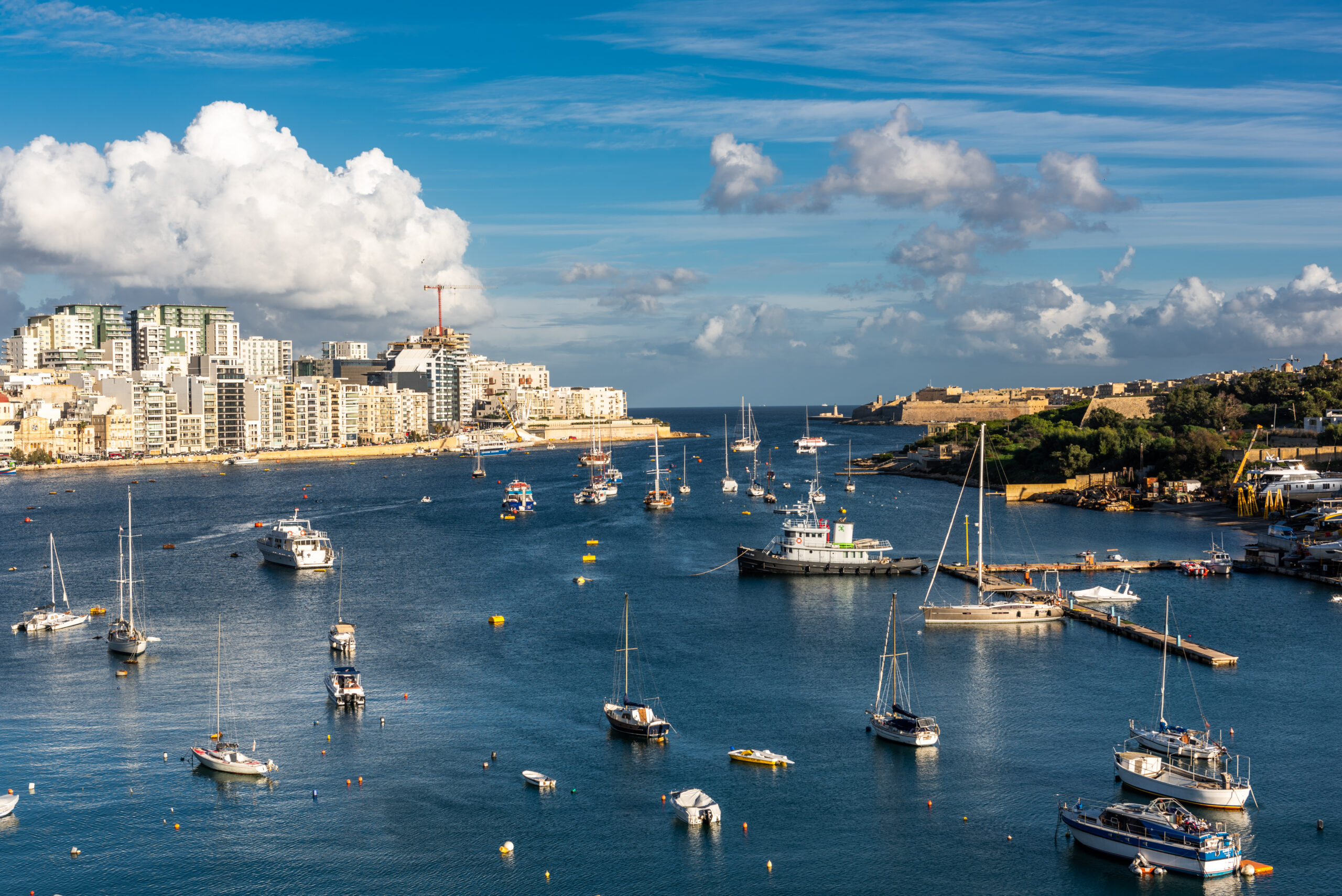
Malta – History, Geography, Economy and Culture
Malta – the island fortress at the heart of the Mediterranean. It has witnessed occupation by so many of history’s great empires. And yet today…
-
 Posted On Nation States
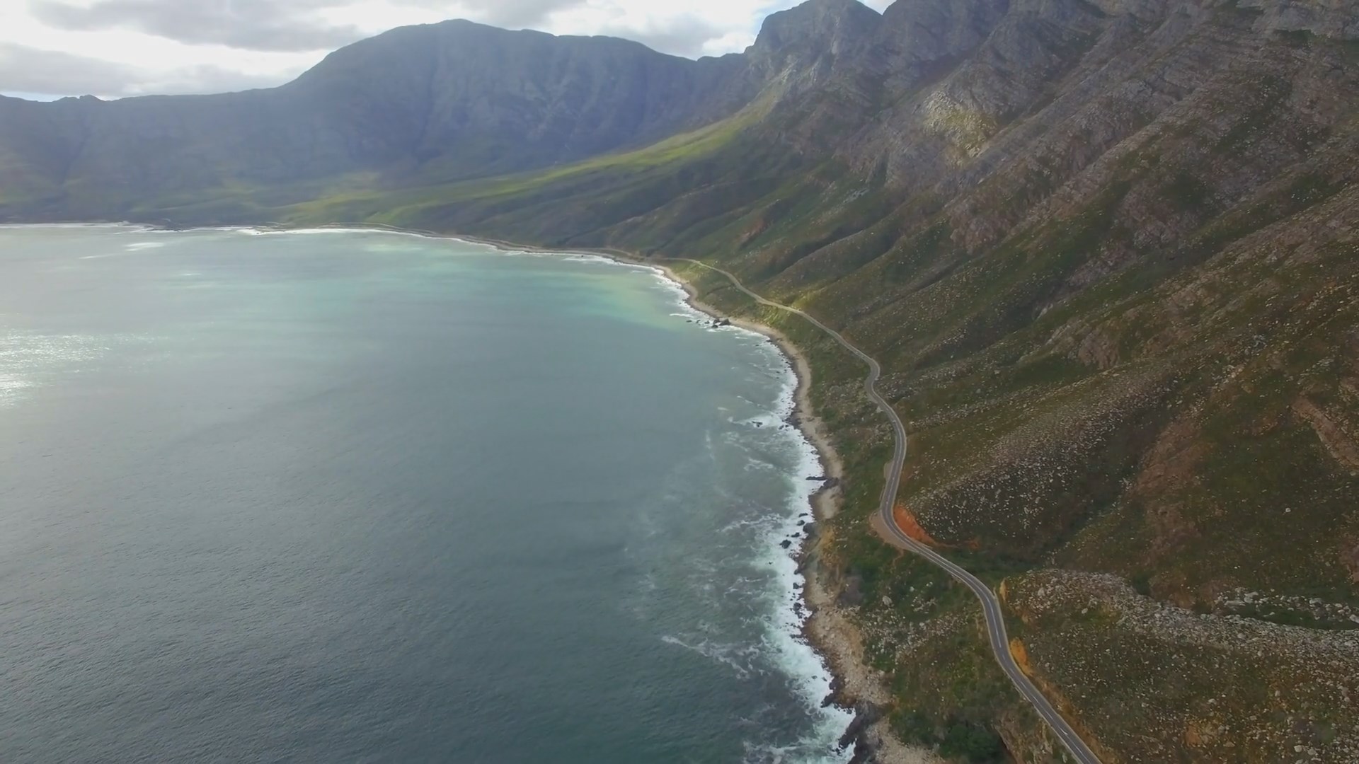
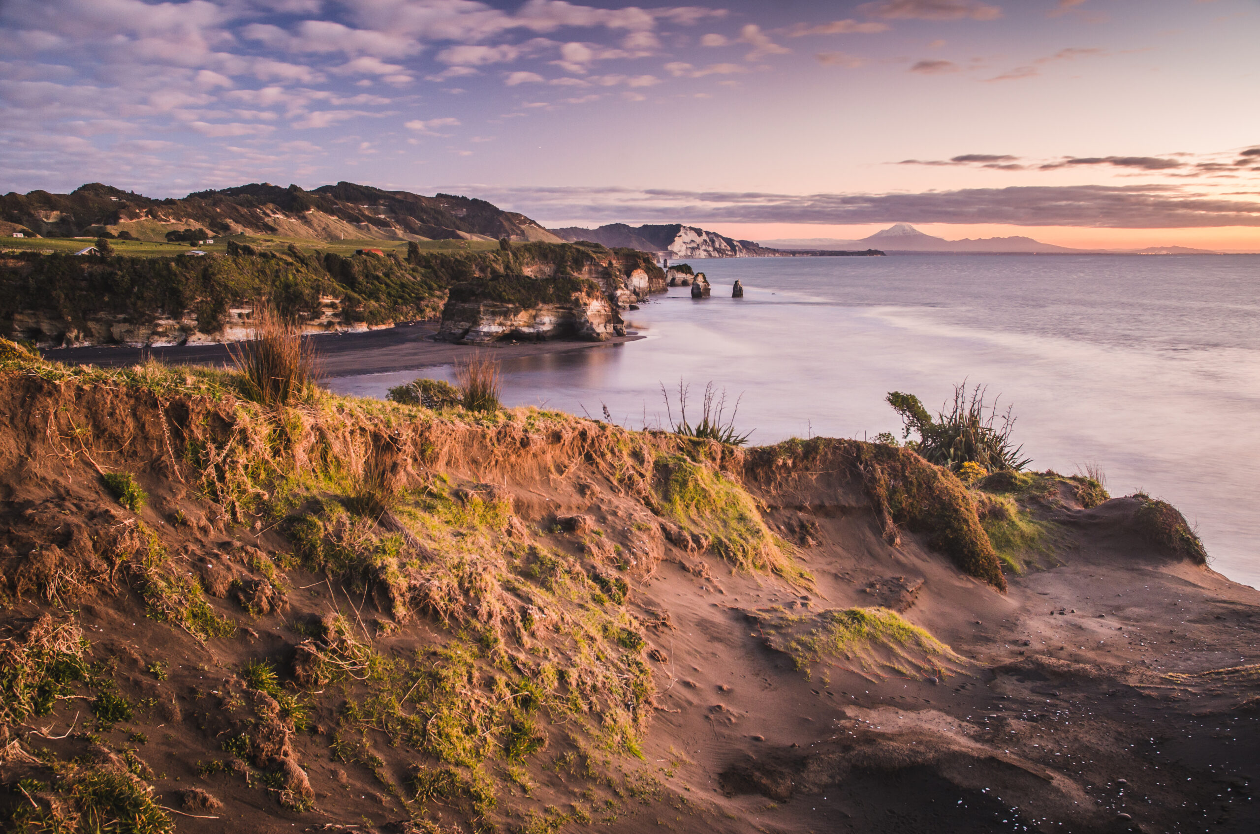
New Zealand – Geography, Economy and Culture
New Zealand is the most remote developed nation in the world, sitting at the south-western edge of the Pacific Ocean. On the boundary of two…
-
 Posted On Nation States
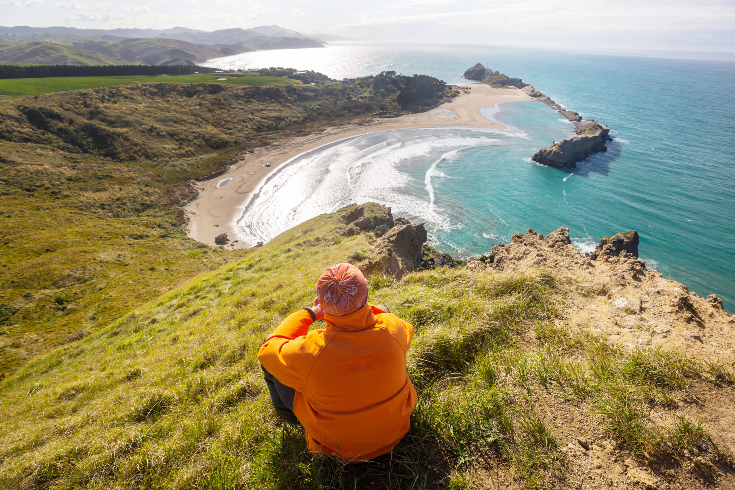
The History of New Zealand
The History of New Zealand begins in the Middle Ages, when humans first arrived in the form of the Polynesian explorer Kupe. New Zealand was…
-
 Posted On Infamous Geography
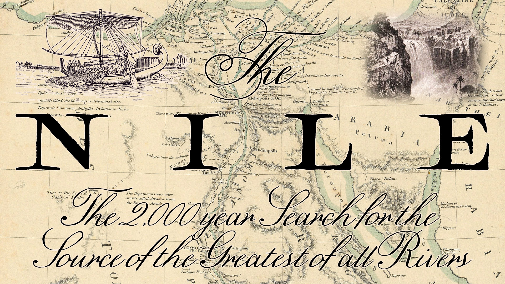
The 2,000 Year Search for the Source of the Nile River
The Nile River. Possibly the longest river in the world, but certainly the most storied in history. Without the Nile, the civilizaiton of Ancient Egypt…
-
 Posted On Infamous Geography
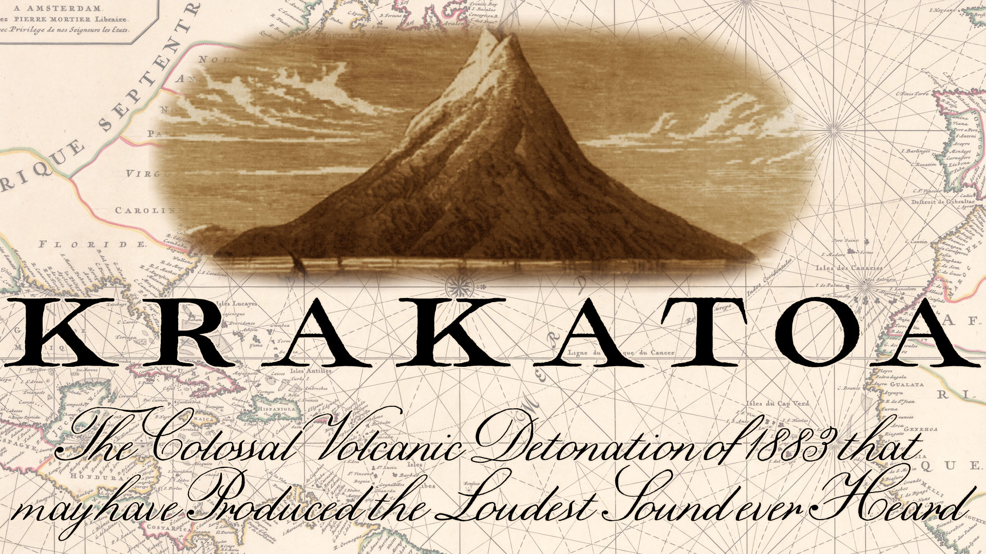
The Krakatoa Volcanic Eruption of 1883 – The Loudest Sound Ever Heard?
In 1883, possibly the loudest sound ever heard, detonated in the Sunda Strait between Java and Sumatra, Indonesia. The source of this explosion? A volcano…


